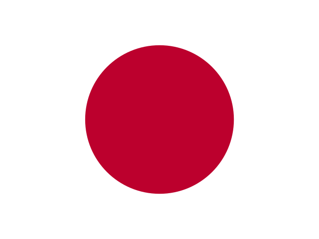

4 flag questions
Compare colors, crosses, and symbols to name the country.
How well do you know the world? Geo Quiz Lab is a free online geography quiz with flag recognition, country outlines, and US state facts. Answer 10 questions, learn the clues behind each answer, and see which topic to practice next.
Play geography quiz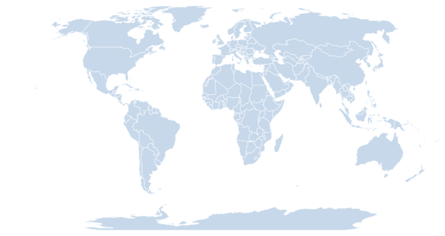
10 questions. One point for each correct answer.
No timer. Take your time.
Recognize a flag, follow a coastline, and place a national park in its state. See which clues you know and which ones surprise you.
Compare colors, crosses, and symbols to name the country.
Use coastlines, islands, and peninsulas to recognize the country.
Match national parks to their states and compare state sizes.
A small challenge. Something new to learn.
Take a moment to study the flag or country outline. For US state questions, read the hint before choosing your answer.
Choose one of four answers. Get instant feedback and a short explanation. Each correct answer earns one point.
Check your score and revisit any answers you missed. Follow the practice tips for your weakest topic, or play again for 10 different questions.
Keep your curiosity on the map.Start with the layout: stripes, a cross, or a central symbol. Then check color order. France and the Netherlands share blue, white, and red, but only France uses vertical bands. After a mistake, name the one detail that separates your answer from the correct flag.
Find a peninsula, a long coastline, or a group of islands first. Italy’s toe and heel are useful clues; New Zealand’s two main islands offer a different pattern. Each outline is scaled to fit the same box, so a bigger image does not mean a bigger country.
Use a landmark’s nearby town or region as an anchor. Yosemite is in California’s Sierra Nevada, not the state of Nevada. The Colorado River flows through the Grand Canyon in Arizona. When a name misleads you, check the source map and locate the state before trying again.
Before you explore.
A geography quiz tests what you know about places. Questions can ask you to recognize a flag, name a country from its outline, or identify a US state from a geographic clue.
Yes. The quick geography quiz is free to play, with no account required. There’s no timer and no ads between questions. Play as often as you like.
The quiz on this page combines three challenges: recognize country flags, identify countries by their outlines, and answer questions about US state sizes and national park locations.
Compare specific features rather than memorizing an answer’s position: a flag’s stripe order, a country’s coastline, or a landmark’s state. Read the explanation and source after each answer. Use your topic scores to choose what to review, then play another round.
Last reviewed: . There are 36 questions to try: 12 flags, 12 country outlines, and 12 US state questions. The quiz covers a selection of places, not every country or all 50 states.
Flags and maps. Flags come from flag-icons (MIT license); country outlines come from Natural Earth. North is always up. Outlines are shown at different scales, and small islands or coastal details may be missing. Maps are for learning; the borders shown do not express a position on territorial disputes.
US state facts. State sizes come from the US Census 2010 area table and include both land and water. Park locations are checked against the National Park Service. You’ll find a source link with each answer if you’d like to learn more.